Neighborhood Solidarity Radar: The 2026 Guide to Stray Animal Care, Water Bowls & Cat Shelters
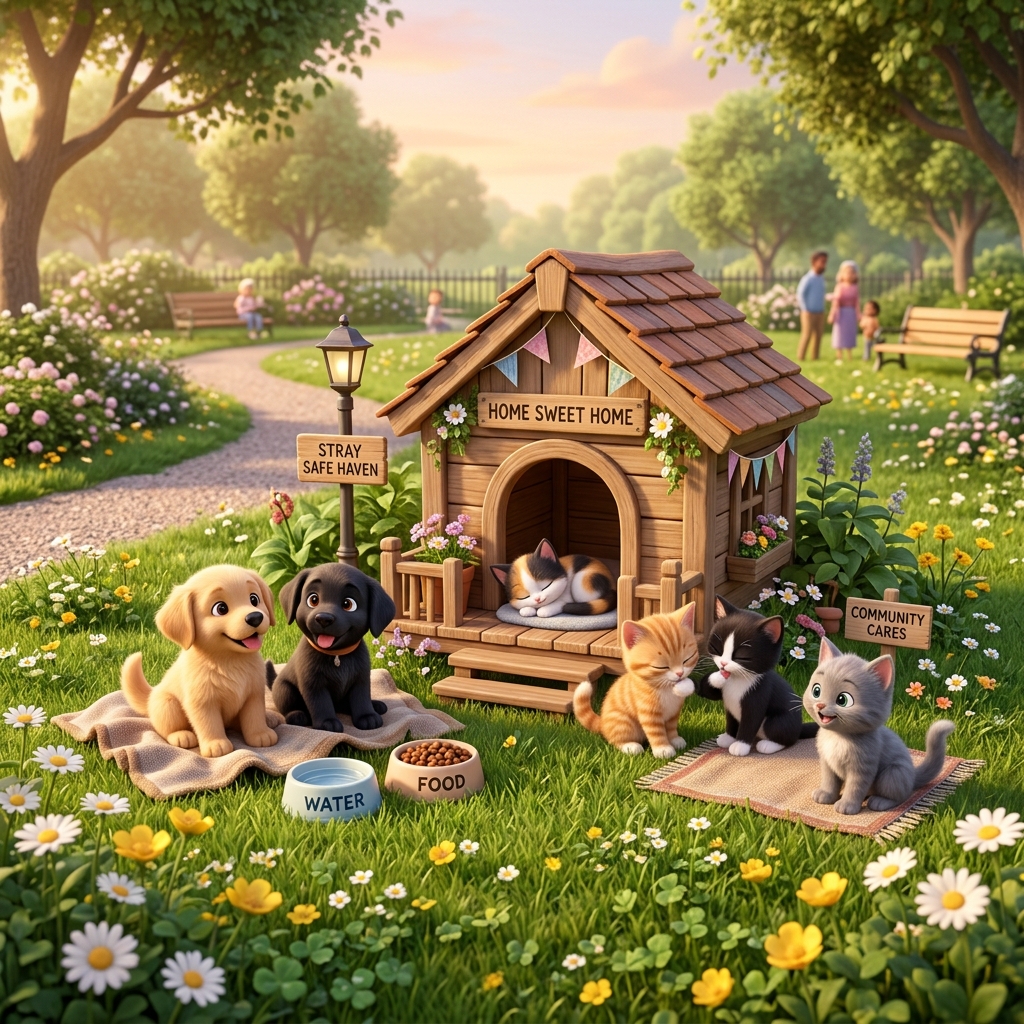
Street animals face extreme adversity: severe dehydration during blistering summer heatwaves and hypothermia during freezing winters. The PetTrack Neighborhood Solidarity Radar empowers local communities to coordinate street animal welfare collectively on an interactive map.
1. Digitizing Water and Feeding Stations
Community water bowls often evaporate or freeze without regular monitoring. The Solidarity Radar introduces:
- Live Freshness Telemetry: Color-coded bowl markers indicate 'Fresh Water', 'Low', or 'Empty'.
- One-Tap Refresh: Caregivers tap 'Refreshed Water' to update the neighborhood community in real time.
- Pin New Stations: Map safe feeding spots across parks and community grounds.
2. Winter Cat Shelters
During freezing temperatures, insulated shelters prevent deadly hypothermia. Pin neighborhood cat houses so fellow animal lovers know where food and blankets are needed.
3. Environmental Hazard Radar
Broken glass, chemical pesticides, or poisoned baits pose grave dangers. The Hazard Radar allows users to pin threats on the map, broadcasting safety alerts to all pet owners within a 5 km radius.
4. Live Photo Story Telemetry (Spot Story Stack)
Whenever someone replenishes a bowl, they can snap an instant photo. This creates a 24-hour live story bubble (Instagram Story style) right on the station's map pin, providing visible photographic proof of fresh food and clean water.
5. Algorithmic Time-Decay Engine
Water evaporates and food spoils. PetTrack prevents stale status indicators with algorithmic decay: • Water Bowls: After 12 hours without an update, status turns to 'Low'; after 24 hours, it automatically flips to red 'Needs Fresh Water!'. • Food Bowls: If untouched for 36 hours, it automatically alerts the community with 'Food Empty!'.
6. Station Residents (Stray Pet Profiles)
Every feeding spot has resident neighborhood strays. Caregivers can register community pet profiles linked directly to that station—tracking names, photos, neutered status, ear-tag IDs, and antiparasitic medication dates to coordinate volunteer care without redundant treatments.
7. One-Tap WhatsApp Community Broadcast
With a single tap, station status, location, and urgent feeding needs are formatted into a rich WhatsApp message ready to send to building or neighborhood chat groups.
자주 묻는 질문 (FAQ)
How do community water bowl statuses get updated on the map?
Tap on any water station pin on the PetTrack Solidarity Map to toggle between 'Fresh Water', 'Low', or 'Empty'. The system displays real-time timestamps of the last refresh.
Where and how should winter cat shelters be placed?
Shelters should be sheltered from direct wind, elevated on wooden pallets or styrofoam to prevent ground cold, and placed in quiet spots. Pinning them on the map alerts fellow caregivers to provide food.
How can I report an environmental hazard like poison or broken glass?
Tap 'Report Hazard' on the map to pin broken glass, suspected poison, or chemical spraying. The pin stays active as an urgent warning for nearby pet parents within a 5 km radius for 48 hours.
Why should we register community stray animal profiles?
Documenting photos, neutered status, vaccinations, and ear-tag IDs coordinates care among local volunteers, avoiding redundant medical treatments.
스마트폰으로 예방접종 일정을 손쉽게 관리하세요
PetTrack을 다운로드하여 접종 차수를 놓치지 않고 동물병원과 실시간 연동하세요.